TerraVisie Space Surveillance
"TerraVisie Space Surveillance stands as a game-changer in the fight against environmental crimes related to soil displacement."
Background
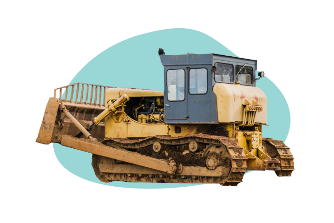
In the face of increasing environmental crimes related to the illegal use of contaminated waste or soil in construction activities, the Netherlands was confronted with a challenging problem. With approximately 350,000 soil displacements occurring annually, detecting and enforcing regulations became a complex task for the National Police and the Human Environment and Transport Inspectorate (ILT). Recognizing the need for a more effective solution, S[&]T, in collaboration with Orbital Eye, Sobolt, and 52impact, developed "TerraVisie Space Surveillance" to revolutionize the way environmental crimes are identified and addressed.

The Problem
The problem at hand was the time-consuming and difficult task of discovering malpractices involving contaminated waste or soil in construction activities. Traditional inspection methods, often conducted after the completion of work, rendered it nearly impossible to ascertain the details of soil displacement, both in the ground and administrative records. These environmental crimes posed serious threats to public health, the environment, and trade, necessitating a more efficient and proactive approach to inspections.
The Solution
TerraVisie Space Surveillance emerged as a groundbreaking solution by combining satellite-based radar and optical data with cutting-edge Machine Learning algorithms. This innovative technology enabled the identification of soil displacement, providing crucial insights into the amount and nature of the material moved. The solution addressed the challenges posed by the sheer volume of ground-displacing actions in the Netherlands, offering a time-efficient and effective means of monitoring large areas.

Material Determination
The system differentiates materials based on colour, texture, structure, and moisture content, enhancing the ability to identify and address environmental crimes.

Continuous Monitoring
TerraVisie monitors four large areas, totaling 2500 km2, and four smaller areas (<5 km2), enabling constant surveillance with minimal manpower.

Notifications &
Collaboration
The system issues alarms for anomalies, facilitating collaboration among different parties who can access the same data through a web-based information service.

Time Efficiency
On-site inspections become more efficient, as inspectors can focus on sites identified as suspicious through satellite monitoring.

Adherence to Regulations
By enabling increased and more efficient monitoring, TerraVisie significantly increases the likelihood of catching perpetrators, ultimately fostering greater adherence to regulations and laws by companies and soil banks.

Better Insights
TerraVisie's continuous monitoring ensures that any unreported changes are flagged, raising suspicions of possible illegal ground displacement.

Identification of Changes
TerraVisie monitors changes in surface, height, and volume, providing a comprehensive understanding of soil displacement.
S[&]T's Role
S[&]T played a pivotal role in the development of TerraVisie Space Surveillance, collaborating with industry leaders to bring this transformative solution to fruition. Leveraging their expertise, S[&]T contributed to the integration of satellite data, radar technology, and Machine Learning algorithms, ensuring the system's accuracy and reliability.